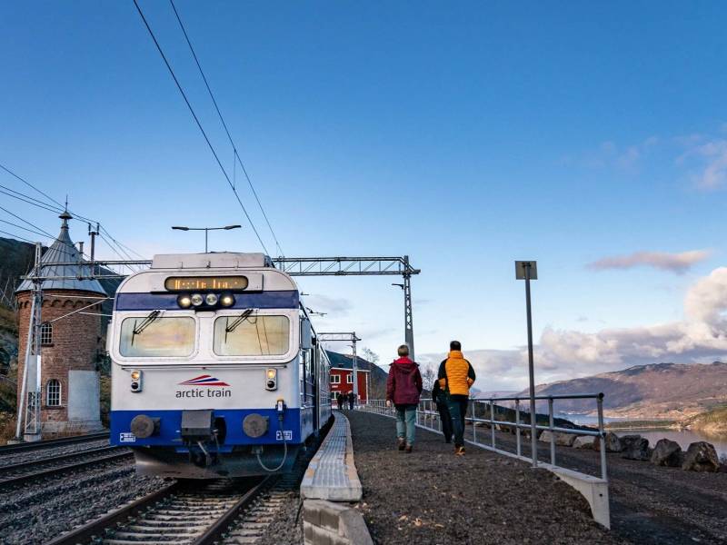
The Ofoten Railway with Arctic Train
Provided by:
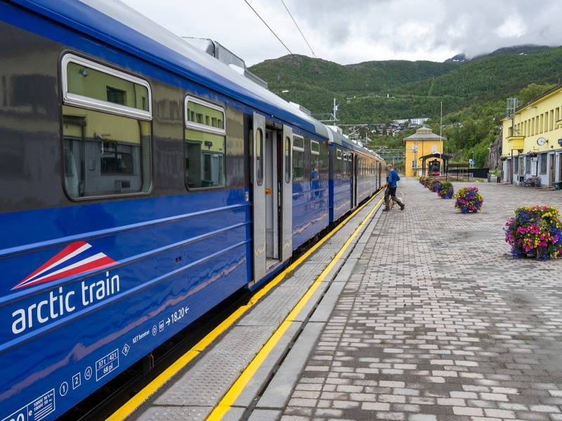
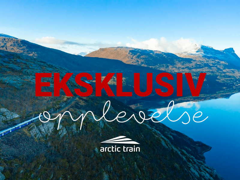
Arctic Train

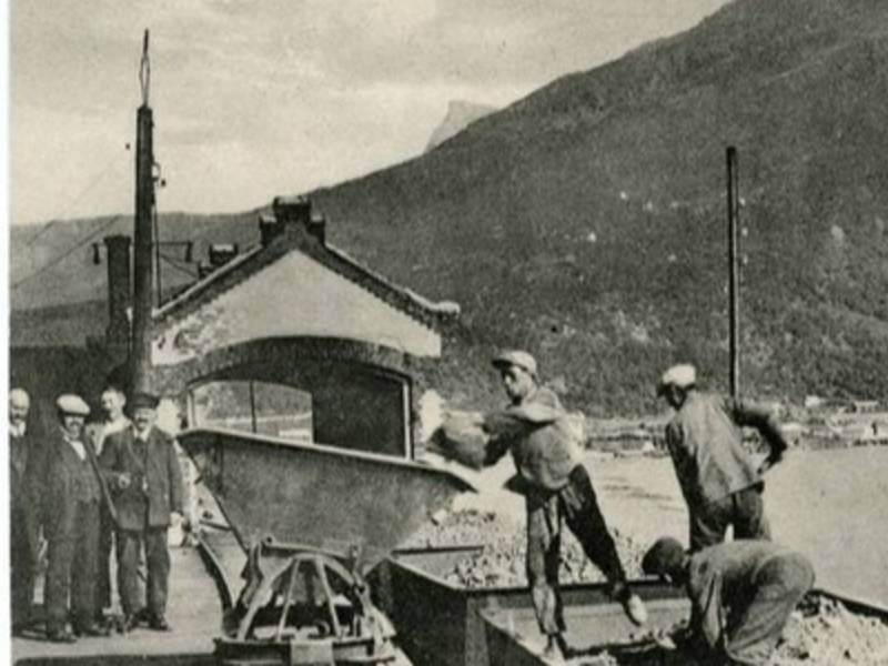
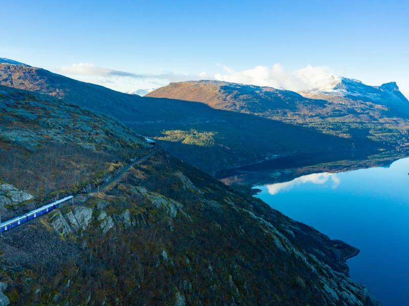
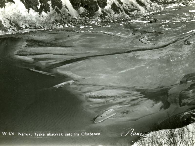
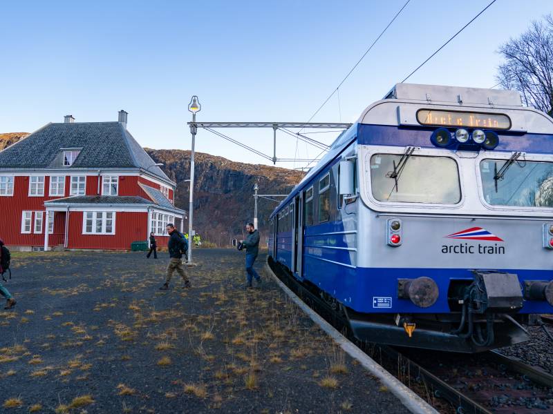
-Engineering masterpiece, strategic target and attraction Welcome to the Arctic Train! Sit back, relax, and enjoy this fantastic journey, which will give you a great insight into the role of the Ofoten railway throughout a short but comprehensive history. Here you will meet everything from impressive engineering and the Rallar (Navvy) culture to the area’s strategic importance during the second world war. Today, the railway is an attraction running through wild and beautifully artistic landscape, where historical events lurk behind every turn. The train will slow down at many of the points of interest, therefore giving you time to become familiar with the Ofoten railway’s many jewels whilst at the same time allowing you time to absorb the sights along the way. The narrator voice will activate automatically when you move into the red circles which surround every point on the Voice of Norway map. Enjoy the ride!
To find more content and listen to free audio guides, download the Voice of Norway app.